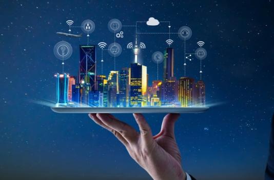
Planners and engineers can use this virtual city to simulate how infrastructure, transportation systems and environmental conditions interact.
Traffic congestion, endless construction, flooded streets and power outages. For city leaders and residents alike, these disruptions are simply part of daily urban life. But an emerging tool, known as the urban digital twin, could help cities anticipate problems before they occur by allowing planners to simulate responses, stress-test infrastructure, and evaluate decisions before implementing them in the real world.
What Is an Urban Digital Twin?
An urban digital twin is a dynamic, data-driven virtual model of a real city. It uses AI analytics and combines 3D modeling with real-time data and information from sources such as IoT sensors, traffic cameras, satellite feeds, infrastructure databases, utility networks, and environmental data including weather systems and heat maps to create a continuously updated digital representation of the urban environment that mirrors infrastructure, movement and systems in real time. In other words, it is a living digital replica of a city.